We got up early to go to the jade carving shop to pick up Karen's earings. Unfortunately one of the pieces of jade had snapped, and Steve had cut another piece and carved it, but upside down. He offered to ship the earings to Teresa's when he'd had a chance to carve another one.
We said our goodbyes and headed off to the pancake rocks , North of Greymouth at Punakaiki.
On the way into Greymouth the weather was overcast and threatening rain, we spotted a lone hitch hiker trying to get a ride so we picked him up, he was also on his way Northwards , and was stopping just a bit out of town, so we offered him a ride to the rocks. On South Island there are so few roads that chances are anyone hitch hiking is going along the same road you are.
We don't remember his name unfortunately! He was on holiday after working his way around Australia, he had a bit of visa time left in Australia before heading back to home to Germany via a few places in Asia. A bit of rain and a few kilometers later, we pulled over at the visitor center parked up and went to explore the rocks. The exact mechanism behind the way they formed isn't known. They do not look like any other rock formations I've seen, and in some places it's like sculpture.
 |
| hard to see the detail on these photos but they were stunning |
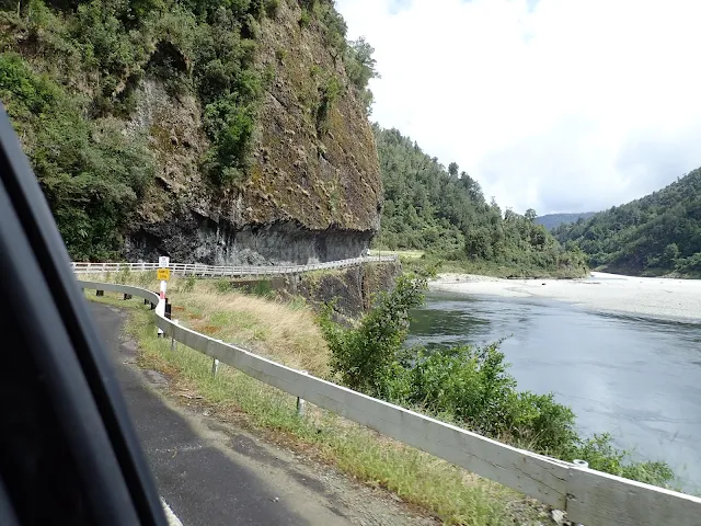
Further up the road we encountered more one lane bridges. This one went around the corner next to the cliff edge so both sides were approaching it blind. Needless to say we crawled around it nervous in case another car suddenly appeared.
We had a quick picnic lunch and paid the $10 each to traverse the swing bridge into the heritage park. The park is on a piece of land that's quite isolated, it had been exploited for mining,
 |
| walking through the park |
 |
| spot the birdy |
rocks have been sculpted by the water
We had time so we took the more severe track off to explore the falls up stream.
The rain started, so we headed back to the bridge, we were quite wet by the time we made it to park side, so we opted out of riding the zip line back.
Back in the car we cranked up the heating, put the heated seats on and set off for the last leg to Nelson.
We found our BnB in Nelson up a steep narrow hill, it was 18:00 and still quite warm, so we made ourselves some food and then decided to go for a walk.
The center of NZ sounded like a good spot to see first, and we were told there was a swimming hole along the river, so we thought we'd check it out for tomorrow. We first had to go through the playing field where the first rugby matches had been played in New Zealand. Considering how much the All Blacks are revered, that's a big deal.
It was a steep climb to the top of the Botanical hill where the centre of New Zealand is supposed to be positioned, we took the photo opp at the top where the trig point is. The map at the bottom had told us that the geographic centre was actually 55km to the East but this spot was a central survey point in the 1800s.
We set off down the back of the hill as the light was going, our map skills were a little off and after traversing a very steep decent in the dark we found ourselves a long way from the swimming hole (the swimming hole is called the black hole).
We followed the river and finally found it, now it was very, very dark, rather than walk back along the road (sensibly) we opted for the riverside walk (exciting). Especially since we had no torches.
We made it back to our digs after a couple of missed turns, and turned in for the night. Our short evening stroll had turned into a very long explore.


No comments:
Post a Comment